top of page
Unlock the Power of Aerial Intelligence
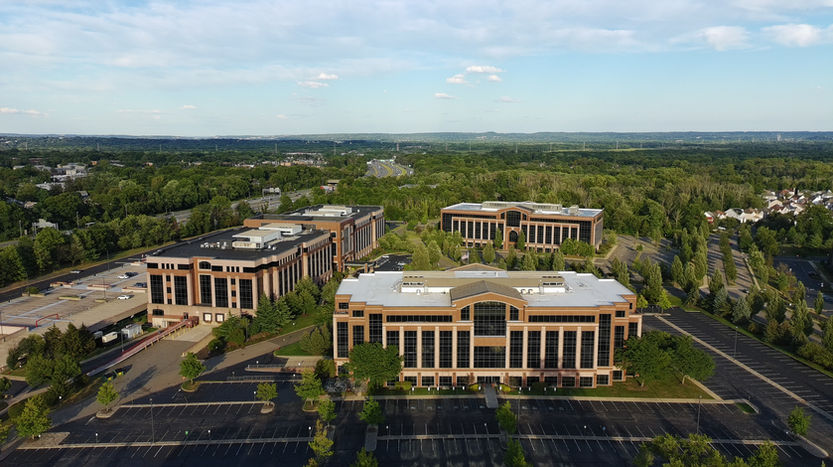
I provide stunning aerial photography and 360° data capture for any occasion—whether showcasing real estate, assessing roof conditions, or inspecting cell towers for structural integrity. Using advanced technologies like high-resolution video, Pix4D mapping, LiDAR scanning, X-ray, and infrared (IR) imaging, I deliver precise, actionable insights for property analysis, damage assessment, and infrastructure monitoring. Let’s elevate your perspective with cutting-edge visuals and measurable results.

bottom of page


